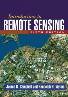

Introduction to remote sensingUpplaga 5
- Upplaga: 5e upplagan
- Utgiven: 2011
- ISBN: 9781609181765
- Sidor: 667 st
- Förlag: Guilford Press
- Format: Inbunden
- Språk: Engelska
Om boken
Åtkomstkoder och digitalt tilläggsmaterial garanteras inte med begagnade böcker
Mer om Introduction to remote sensing (2011)
2011 släpptes boken Introduction to remote sensing skriven av James B. Campbell. Det är den 5e upplagan av kursboken. Den är skriven på engelska och består av 667 sidor. Förlaget bakom boken är Guilford Press.
Köp boken Introduction to remote sensing på Studentapan och spara pengar.
Referera till Introduction to remote sensing (Upplaga 5)
Harvard
Oxford
APA
Vancouver

